

Latest Weather Blog
Gulf development chances increase, tropical depression may be forming
The National Hurricane Center has significantly increased the odds that a tropical depression will form over the northeastern Gulf, and for the first time, Louisiana has been added to the list of states that should closely monitor the system.
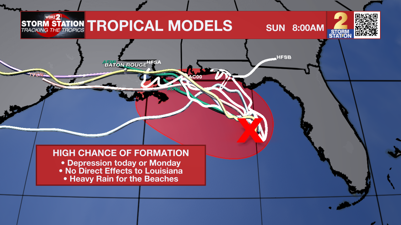
The disturbance, known as Invest AL91, has become better organized since Saturday. Forecasters now say a tropical depression is likely to form later today or Monday as it drifts slowly north or northwest toward the northern Gulf Coast. An Air Force Reserve Hurricane Hunter aircraft is scheduled to investigate the system later today to determine whether a tropical cyclone is developing.
What has changed?
Just 24 hours ago, the disturbance only had a low chance of development. Since then, satellite imagery has shown the area of low pressure becoming better defined while showers and thunderstorms have gradually increased around the system.
The National Hurricane Center has now raised the odds of development to 80% over both the next two and seven days, making tropical development the most likely outcome. Even so, the thunderstorm activity remains somewhat disorganized and displaced from the center, meaning the system still has work to do before becoming a tropical depression.
Trending News
What does this mean for Louisiana?
At this point, Louisiana is not expected to receive the worst impacts.
Current forecasts continue to favor a track toward the northern Gulf Coast from the Florida Panhandle westward through coastal Alabama and Mississippi. However, forecast confidence is still evolving, and the National Hurricane Center now specifically says interests from Florida to Louisiana should monitor the system's progress. Tropical Storm Watches or Warnings could be needed for portions of the northern Gulf Coast as early as today if development continues.
For south Louisiana, the biggest takeaway right now is to stay informed—not alarmed. Forecast guidance over the past couple of days has gradually shifted the projected track a little farther west than earlier forecasts suggested. While that trend doesn't currently point toward a Louisiana landfall, it does reinforce why Gulf Coast residents should continue checking forecasts as the system becomes better organized.
A reminder that hurricane season is far from over
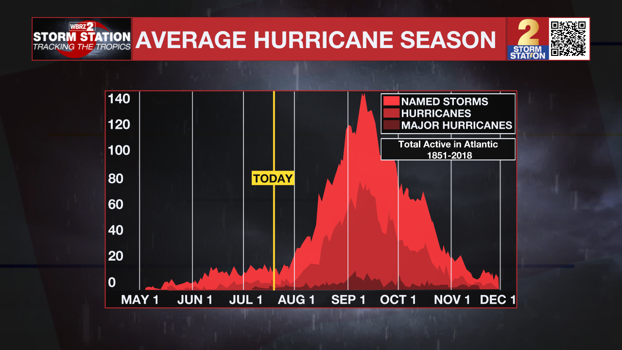
While this system is becoming more likely to develop, it's worth remembering that July is typically one of the quieter months of the Atlantic hurricane season.
Only a handful of tropical systems have made landfall in Louisiana during July. The most recent was Hurricane Barry in 2019, which came ashore near Intracoastal City before spreading flooding rainfall across much of southern Louisiana. Before that, Hurricane Cindy crossed southeastern Louisiana in early July 2005, bringing heavy rain and gusty winds to the New Orleans area.
The busiest part of hurricane season is still ahead in August and September, making now the perfect time to prepare. Review your hurricane plan, check your emergency kit, and make sure you have multiple ways to receive watches and warnings. It's much easier to prepare when the Gulf is quiet than when a storm is already approaching.
We'll continue to monitor Invest AL91 closely and provide updates if the forecast shifts farther west or if the system officially becomes a tropical depression.
The Storm Station is here for you, on every platform. Your weather updates can be found on News 2, wbrz.com, and the WBRZ WX App on your Apple or Android device. Follow WBRZ Weather on Facebook and X for even more weather updates while you are on the go.
More News

