

Latest Weather Blog
Scanning skies on game day to stay ahead of storms, even without access to radar
With street-level tracking capabilities, the Storm Station Weather App is a great tool for tracking incoming storms in real time. But with crowds converging on LSU and Southern campuses on Saturday, having enough cell service to do so might prove tricky. Even so, there are clues in the sky that can help signal when it's time to take cover.
The first thing to watch for is fair-weather cumulus clouds. These are harmless and common in the warm season, but they are the clouds that eventually grow into storms. They appear like cotton balls in the sky; expect them to become more numerous throughout the morning and especially into the afternoon.
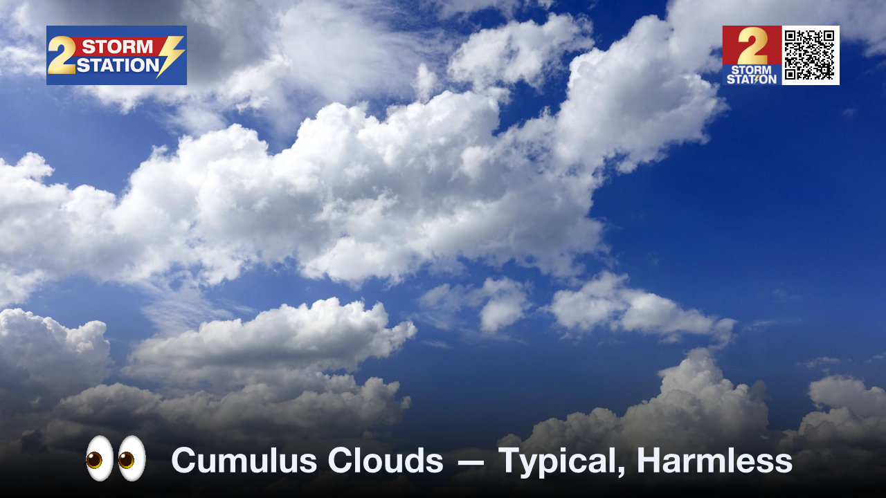
Once the cumulus clouds start growing taller, it's a sign that the lid on the atmosphere is popping open. These are called towering cumulus clouds, and it indicates that storms may develop soon. Start keeping an eye on the skies more frequently once this happens.
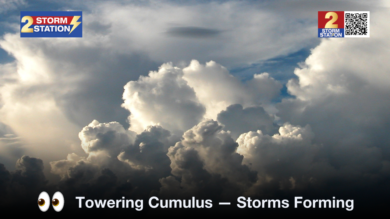
Towering cumulus clouds eventually build into storm-producing cumulonimbus clouds. Darkening skies are a clear sign that storms are nearby. Remember: if thunder is within earshot, lightning is close enough to strike.
For that reason, keep a lightning shelter in mind before even heading out to campus. A sturdy building will suffice, in addition to a car with the windows rolled up.
Trending News
The Storm Station is here for you, on every platform. Your weather updates can be found on News 2, wbrz.com, and the WBRZ WX App on your Apple or Android device. Follow WBRZ Weather on Facebook and X for even more weather updates while you are on the go.
More News

